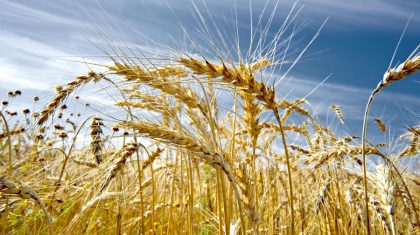
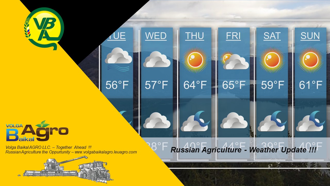
Volga Baikal AGRO NEWS Update on the WEATHER FORECAST in RUSSIA and Europe !!!
The temperature “rock and roll” will continue to swing.
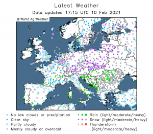
February 10, 2021 PHOBOS Center
Source: Meteovesti.ru
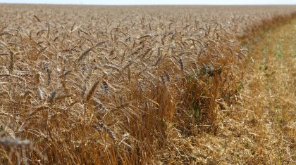
In the European part of the country, abnormal frosts and abnormal heat were encountered. In St. Petersburg, the day before, the temperature did not even rise above -12°during the day. Much more severe frosts on Tuesday shackled the Volga region and the Urals: in Samara -16°, in Perm, at the peak of solar warming, it was -22°.
A completely different picture has developed in the south of the country – Krasnodar was under water! A couple of days ago, the Kuban was covered with snow, but the day before it warmed sharply again – up to +11°. Everything began to melt. In the area of Sochi on February 9, the temperature rose to +22°! In the western regions of the country and in the Black Earth region, there were quite strong snowstorms on the eve. In Kursk, for example, visibility during the day fell to 300 meters.
Such contrasts were the result of the influence of a cyclone that has been circling over the Russian Plain for several days. In its cold rear, the region receives air masses from the Arctic Ocean, and in the warm sector there was air from the Mediterranean. Today, this vortex will be over the Volga, and precipitation in its zone will weaken. But the temperature contrasts will only continue to increase. The fact is that this cyclone is only the first in a series; another one will cover the Chernozem region during the day, in some places icy rains are not excluded.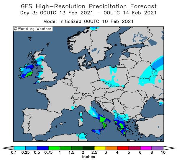
And the most powerful in the series is still over the Adriatic. It will reach Russia on Friday. Its cloud fields stretch from the Northern Urals to the Aegean Sea. The long-suffering Chernozem region will again be at the epicenter of the bad weather, where in some places more than half of the monthly precipitation may fall. In some places in Meshchera and on the Middle Volga, they can turn into icy rains. And the temperature regime from such a series of intrusions will become even more abnormal!
Arctic air by the end of the working week will freeze not only the middle strip of our country, but also Western Europe. But on the Middle Volga and in the Urals, on the contrary, 20-degree frosts will be replaced by thaws.
For example, in Samara today, the temperature will rise to -13°to the accompaniment of snowfalls. The peak of warming will be on Friday-Saturday-up to 0…+2°, these days in the city in some places icy rains are not excluded. However, on Sunday there will be a collapse of cold again: during the day: -9 … -11°.